Record-Breaking Bomb Cyclone Slams Newfoundland with Hurricane-Force Winds and Flooding
A powerful bomb cyclone battered Newfoundland between November 4 and 5, 2025, unleashing Category 2 hurricane-force gusts, torrential rain, and coastal flooding across the region. The storm set new intensity records for the area, downing power lines, damaging infrastructure, and leaving thousands without electricity. Emergency crews were deployed to assess the damage and assist affected communities as cleanup efforts began.

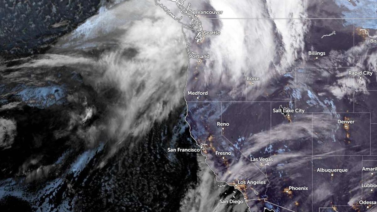
A powerful fall storm underwent a rapid intensification phase as it swept into Newfoundland, Canada, on November 4–5, deepening by more than 60 hPa within 24 hours.
According to Environment and Climate Change Canada (ECCC), the system reached a minimum mean sea-level pressure of 944.7 hPa at Marticot Island in Placentia Bay — the lowest ever recorded in the province during November — and 950.5 hPa at St. John’s International Airport, setting a new monthly record for the city.
ECCC observations confirmed hurricane-force gusts of 172 km/h (107 mph) at Cape St. Mary’s, 171 km/h (106 mph) at Trepassey (Powles Head), and 162 km/h (101 mph) at Cape Race, as the storm lashed the island with destructive winds and heavy rain.
Rainfall totals reached 54.5 mm (2.15 inches) in Lamaline and 44.3 mm (1.74 inches) in St. Lawrence, while western and central communities such as Corner Brook, Massey Drive, and Grand Falls–Windsor reported wet snow and mixed precipitation as the powerful low moved inland.
Coastal and offshore buoys recorded waves over 9 m (30 feet), with some measurements approaching 12 m (39 feet) along the southern Avalon and Burin Peninsulas, highlighting the storm’s extreme marine impact.
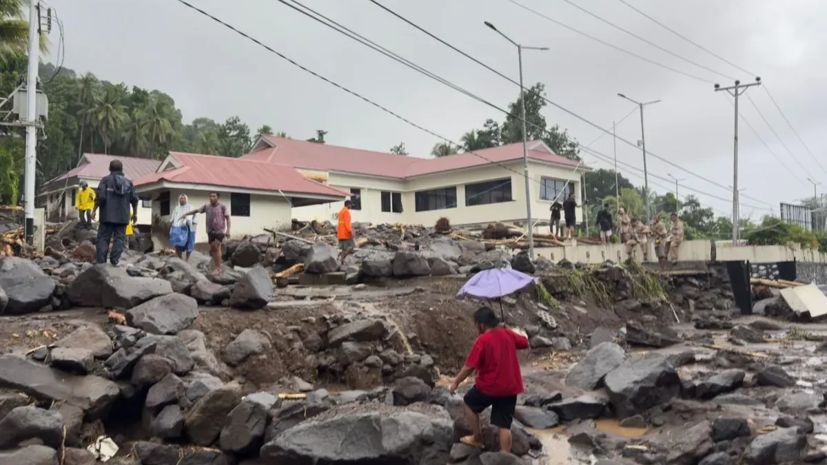
The combination of high tide, storm surge, and onshore winds caused significant coastal flooding and erosion. In Trepassey, two families were evacuated after waves breached the town’s breakwater, flooding low-lying homes, according to CBC. At the storm’s peak on November 4, more than 9,000 Newfoundland Power customers experienced outages, with the Avalon and Burin Peninsulas hardest hit. Ferry crossings were suspended, and multiple highways were closed due to downed trees, debris, and severely reduced visibility from wind-driven precipitation.
The low developed south of Nova Scotia on November 3 and underwent explosive cyclogenesis, dropping from roughly 1,006 hPa to 944.7 hPa in less than a day—far exceeding the 24 hPa in 24 hours threshold for bombogenesis. The resulting low-pressure gradient generated the hurricane-force winds, heavy seas, and extensive coastal impacts observed across Newfoundland. By November 5, the system had moved north of the island, but gusts above 100 km/h (62 mph) and large swells were expected to persist through early November 6. Marine warnings and coastal inundation advisories remained in effect as cleanup and restoration continued along the Avalon, Burin, and southern Newfoundland coasts.
Reference: WatchersNews